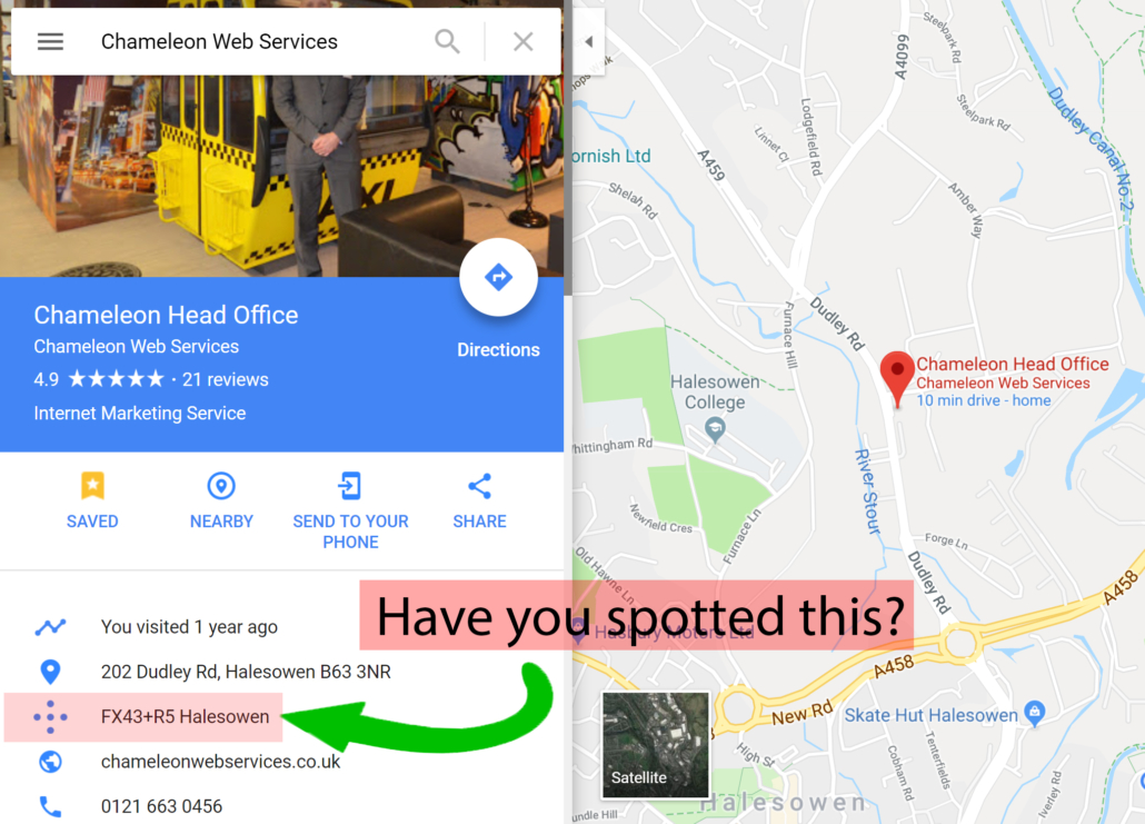
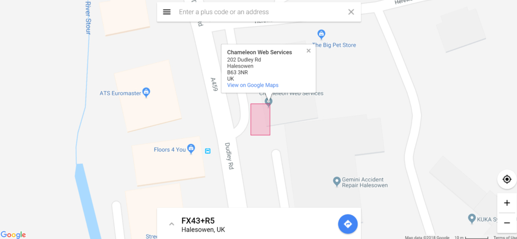
The Plus Code is based on the existing latitude and longitude of a location. Previously on Google Maps, there was coordinates which were used to describe a location however, they could be considered ‘lengthy’ and therefore hard to remember. With Plus Codes these coordinates are now condensed into a shorter more memorable collection of characters which are separated into two parts; An ‘area code’ and a ‘local code’.
The area code is represented by the first four characters of the code. This will represent a region of about 100km2.
The local code is made up of the last six characters and represents a location of about 14km2. This helps locate the specific place the user is trying to find, with each location having a unique local code.
The system works by using the area code to locate the wider region and then using the local code to identify the exact location you are searching for. An additional character can also be used to add more precision and takes the search from 14km2 to 3m2, therefore providing an extremely accurate way of finding a location.

 In recent times you may have begun to notice a feature called ‘Plus Codes’ on Google Maps and if you have not noticed Google sneak this under the radar then here we have everything you need to know about Plus Codes and how they work.


